 VI
VI


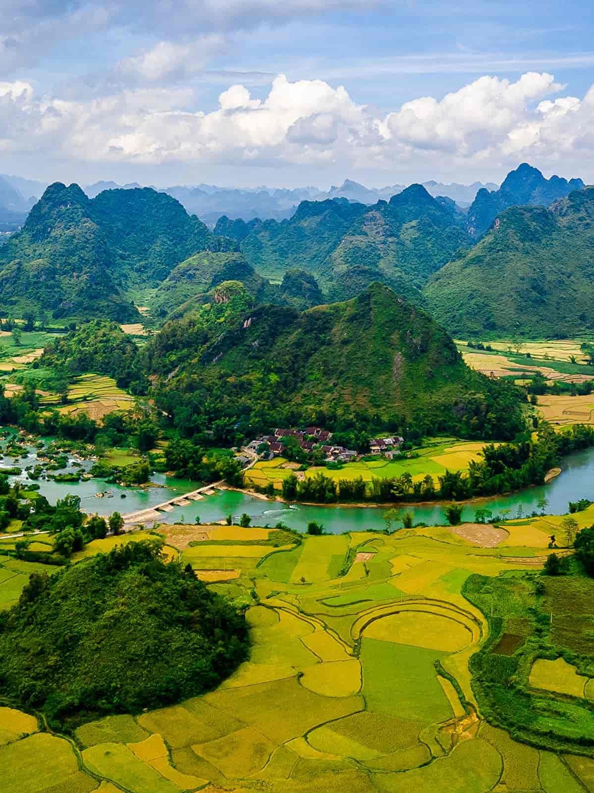
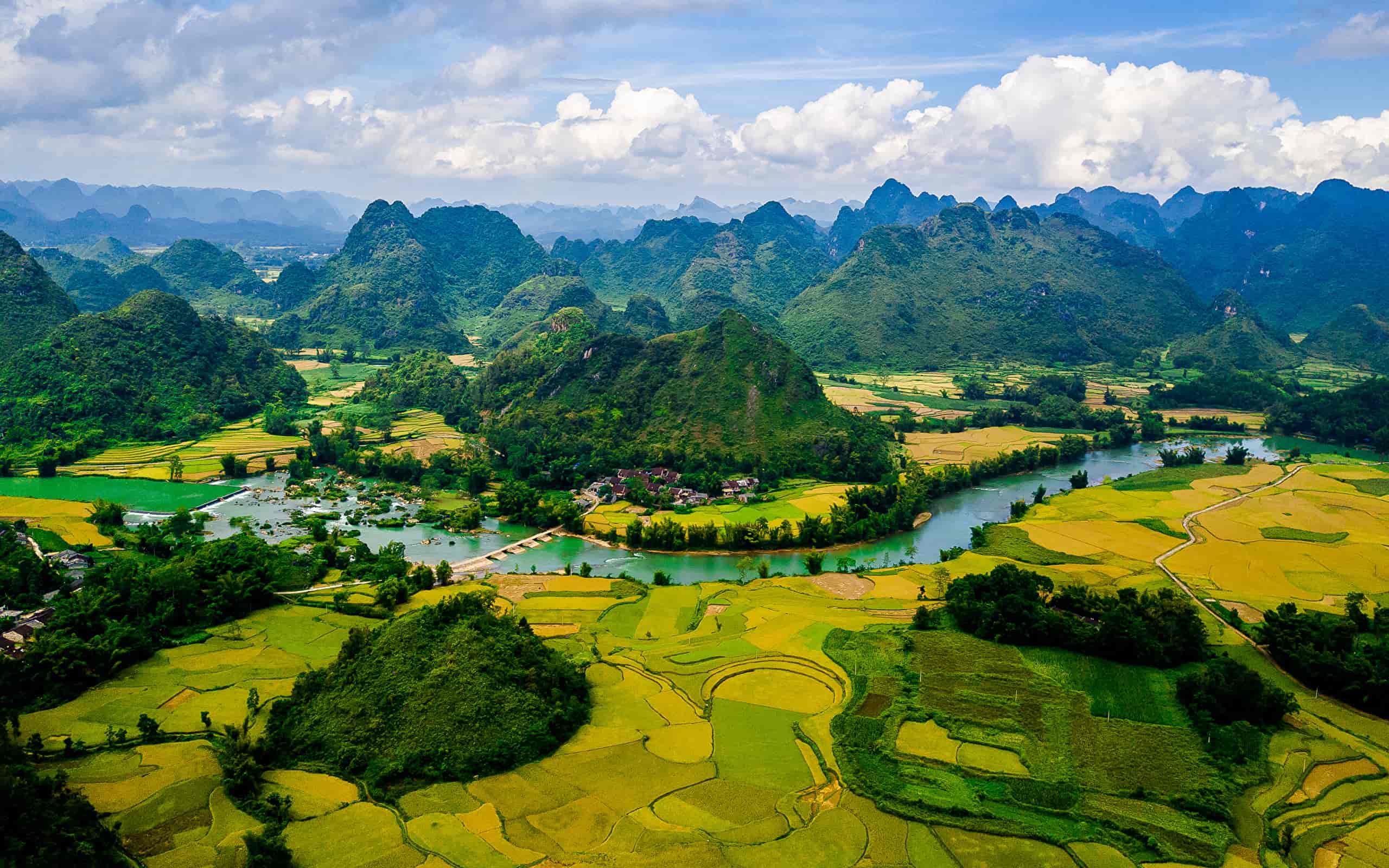
DONG VAN STONE PLATEAU GLOBAL GEOPARK, HA GIANG PROVINCE
In 2010, the Dong Van Karst Plateau was officially recognized as a Global Geopark by the UNESCO Global Geoparks Network (GGN) Advisory Council. According to the GGN's assessment, the Dong Van Karst Plateau is a unique limestone region, containing typical traces of the Earth's crustal development history, distinctive natural phenomena and landscapes, high biodiversity, and the long-standing cultural traditions of the indigenous communities.
Dong Van Stone Plateau viewed from above.
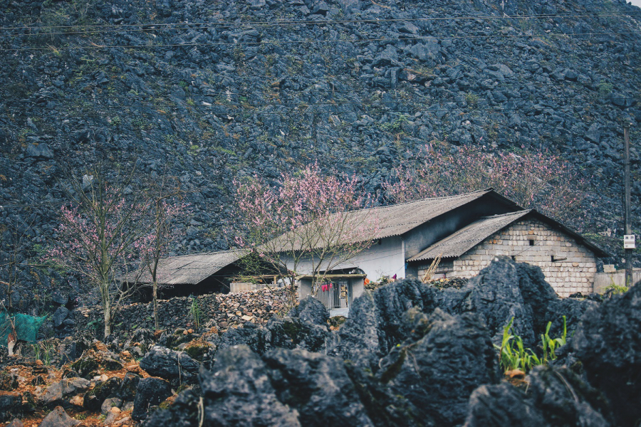
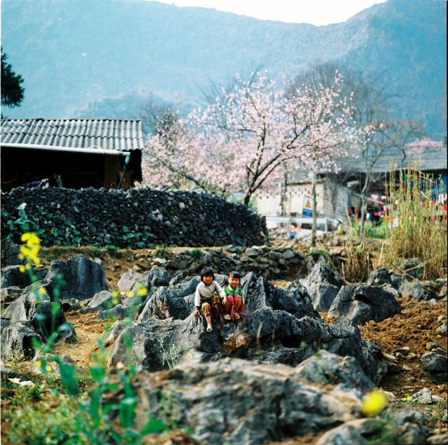
Located at an average altitude of 1,000-1,600 meters above sea level, the Dong Van Karst Plateau spans four districts of Ha Giang province: Quan Ba, Yen Minh, Meo Vac, and Dong Van. Due to geological diversity and climate change, karst evolution has created a rich variety of "rock gardens" and "rock forests," such as: the Khau Vai rock garden (Meo Vac) with its flower-shaped peaks, buds, and branches; the Lung Pu rock garden (Meo Vac) with its rock peaks, boulders, and towers resembling coiled dragons and seated tigers; and the Van Chai rock garden (Dong Van) with its smooth, round slabs of rock stacked on top of each other. However, the most common feature is the towering, pyramid-shaped mountain ranges with sharp peaks and steep slopes, giving the Dong Van Karst Plateau a majestic and awe-inspiring appearance.
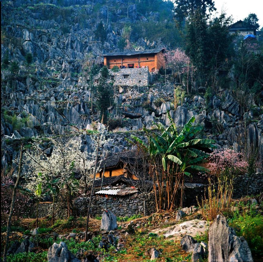
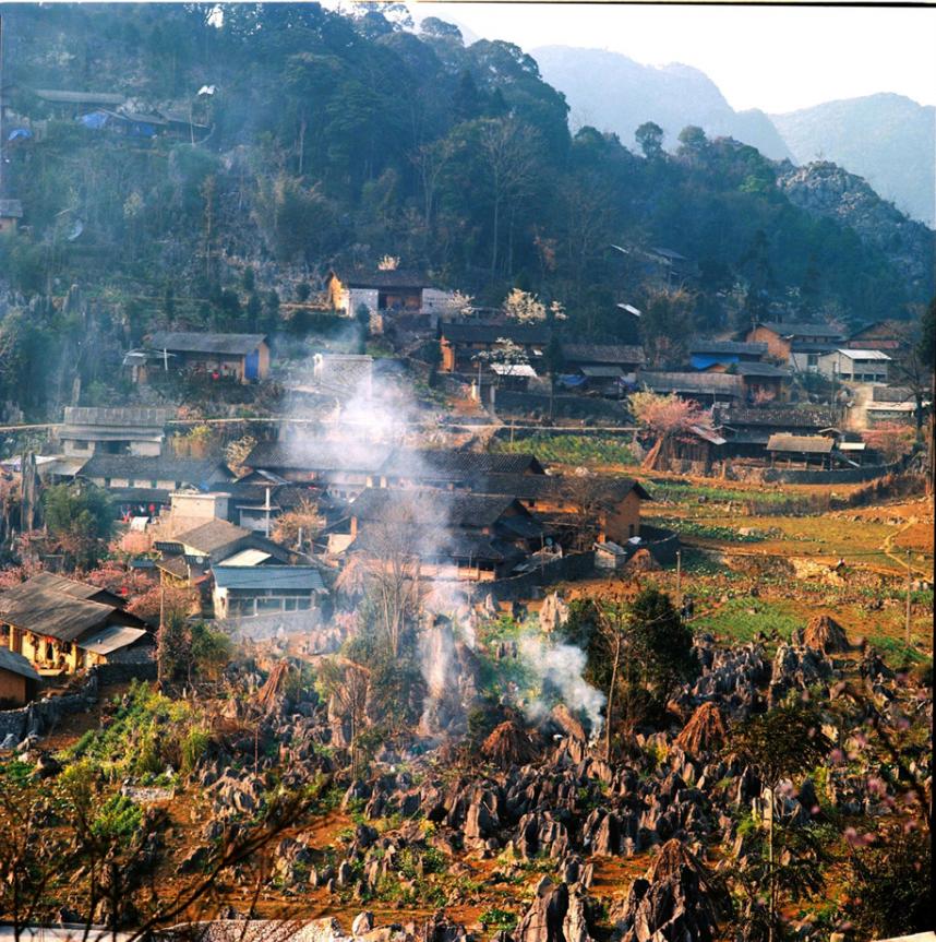
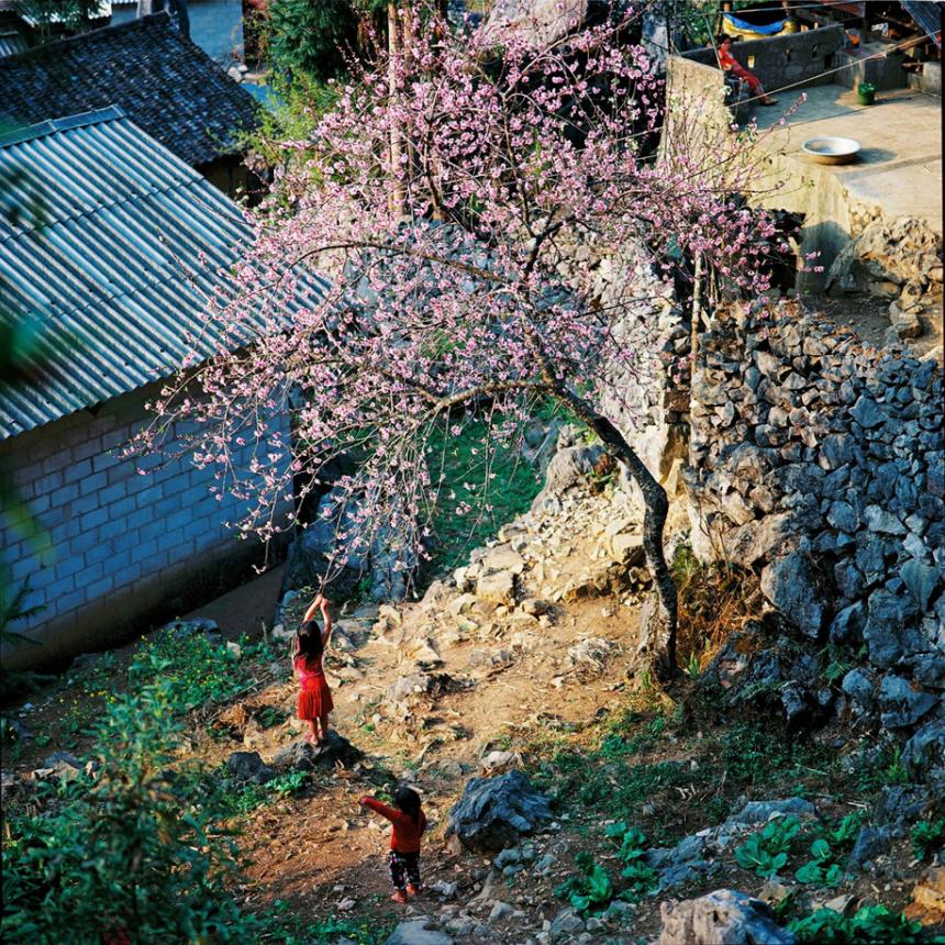
Besides its geological, geomorphological, and scenic values, the Dong Van Karst Plateau also holds the traditional cultural values of 17 ethnic minority communities such as the Mong, Dao, Lo Lo, Tay, and Nung. The people of the Dong Van highlands live in harmony with the rocks: clearing rocks to build houses and create land for cultivation; digging through rocks to find freshwater sources... Rocks are used to build fences around villages, to retain water and soil for terraced rice fields, and to form forests and ramparts to protect the country's borders.
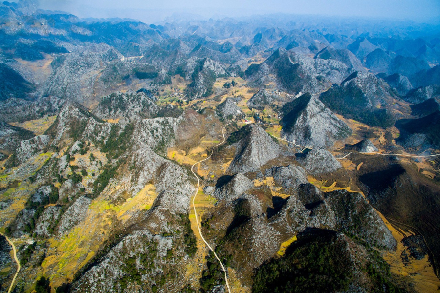
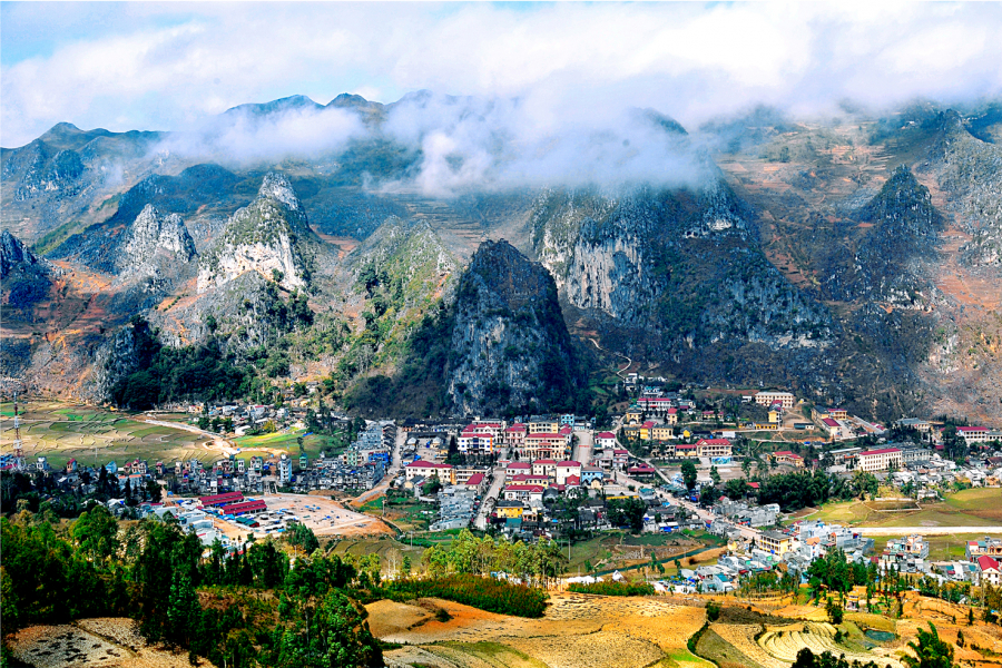
CAO BANG NON NUOC GLOBAL GEOPARK, CAO BANG PROVINCE
Cao Bang Geopark was officially recognized by UNESCO as a Global Geopark in April 2018, becoming the second Global Geopark in Vietnam. This is a rare area in Vietnam where visitors can learn about the history of the Earth through its geological formations. Fossils, marine sediments, volcanic rocks, minerals, and especially the limestone landscapes, are excellent evidence of the Earth's evolution and changes.


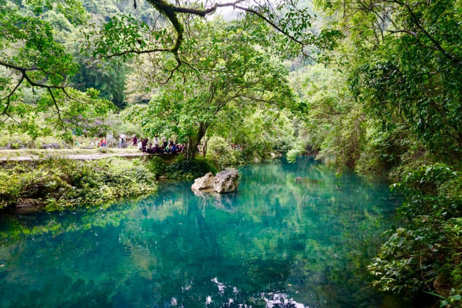
Cao Bang's natural beauty
To date, scientists have discovered, evaluated, and proposed the ranking of over 130 unique geological heritage sites with rich and diverse limestone landforms and landscapes such as rock towers, cones, valleys, caves, river and lake systems, underground caverns, etc., reflecting a complete karst evolutionary cycle in the tropical region of Northern Vietnam. In addition, many other types of geological heritage, such as paleontological fossils, boundaries between geological subdivisions, faults, and various mineral formations, have been found in this area.
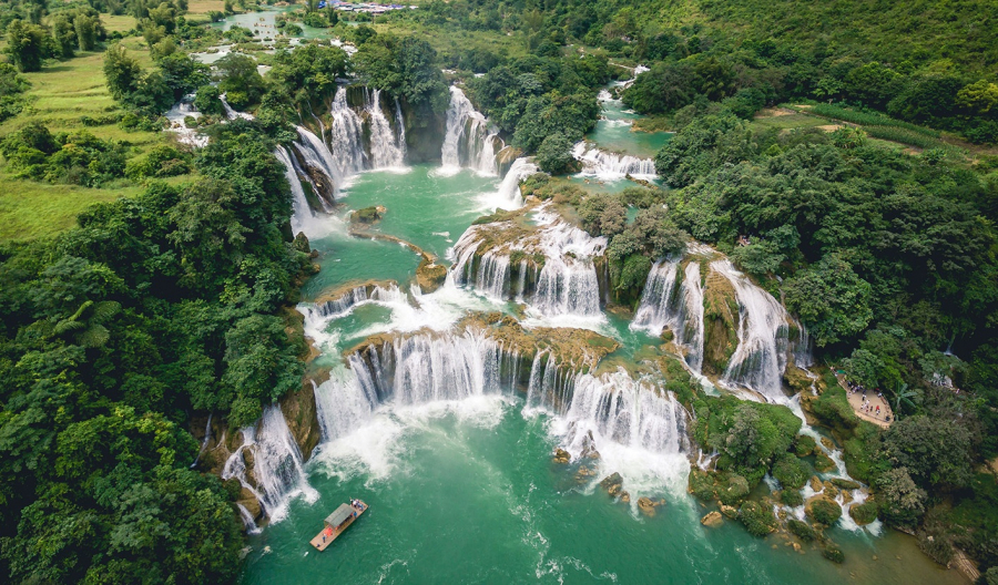
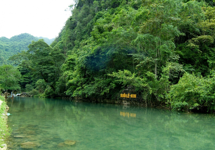
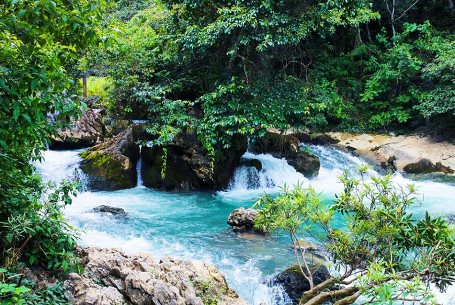
Ban Gioc Waterfall
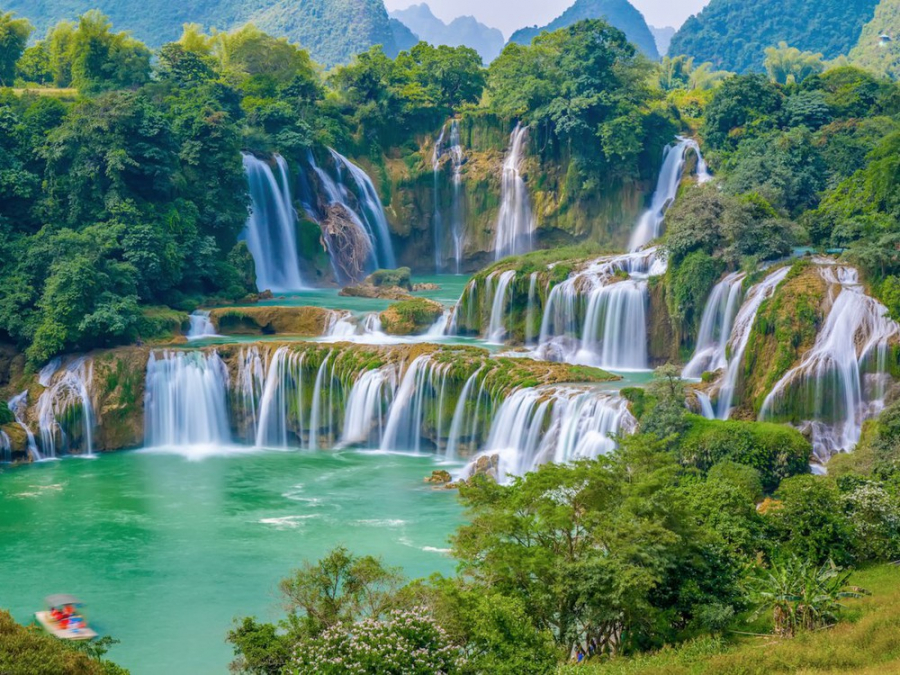
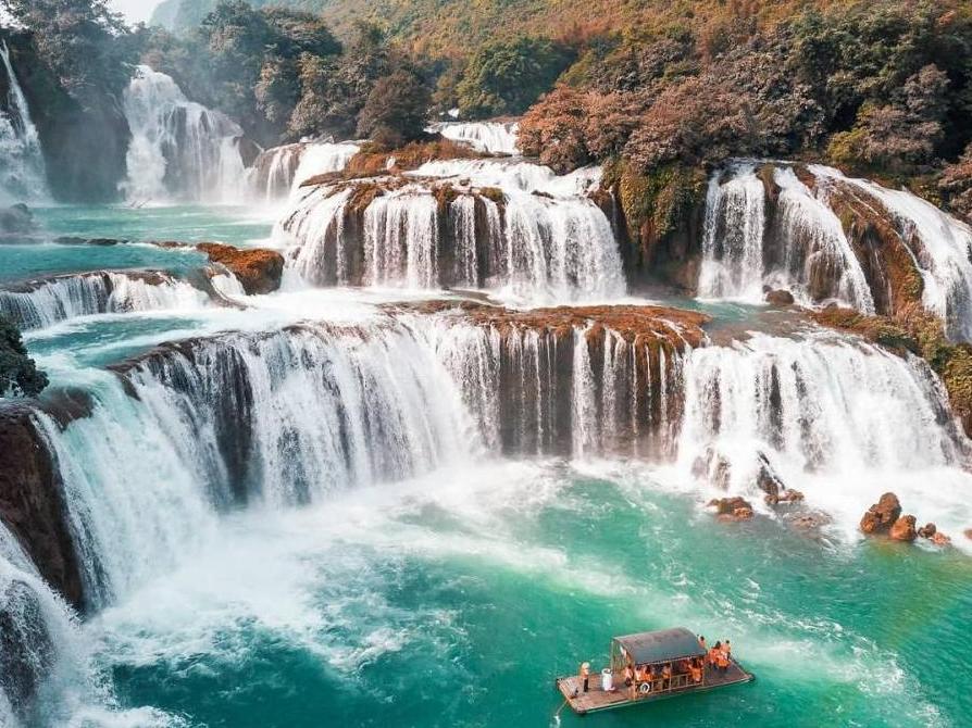
This region also boasts a rich cultural and historical heritage with over 215 classified cultural and historical relics, including three special national historical sites: the Pac Bo Special National Historical Site – where President Ho Chi Minh returned to Vietnam in 1941 to lead the Vietnamese revolutionary movement after more than 30 years abroad; the Tran Hung Dao Forest Special National Historical Site – where General Vo Nguyen Giap established the Vietnam Propaganda and Liberation Army in 1944, the predecessor of the Vietnam People's Army today; and the 1950 Border Victory Site Special National Historical Site. Along with many famous national and international scenic spots such as Pac Bo Cave, Lenin Stream, Ban Gioc Waterfall, Nguom Ngao Cave, Thang Hen Lake, Phia Oac - Phia Den National Park…
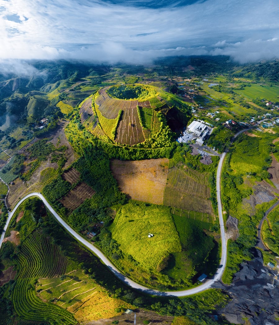
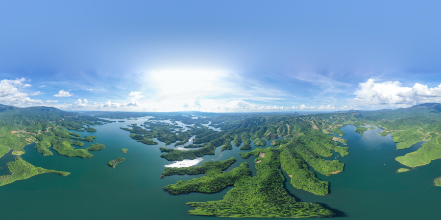
Dak Nong Global Geopark, Dak Nong Province
On July 7th, UNESCO approved the recognition of Dak Nong Geopark as a Global Geopark. Part of the picturesque and majestic M'Nong plateau, Dak Nong Geopark is a convergence of outstanding values in geology, geomorphology, archaeology, culture, and biodiversity characteristic of the region.
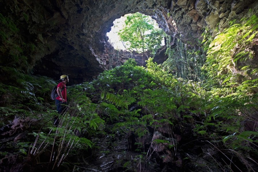
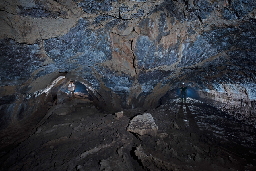
Spanning an area of 4,760 km²2Comprising the districts of Krông Nô, Cư Jút, Đắk Mil, Đắk Song, Đắk G'long and the town of Gia Nghĩa, the Đắk Nông Geopark has approximately 65 geological and geomorphological heritage sites, including a system of nearly 50 caves with a total length of over 10,000 m, volcanic craters, and waterfalls.
Ta Nung National Park is part of the Dak Nong Geopark.
The history of this land dates back 140 million years, when it was part of a vast ocean, with traces found such as sedimentary rocks, ammonite fossils, and other fossils. Tectonic movements of the Earth's crust caused the area to uplift and volcanoes to appear. Volcanic eruptions covered half of the area with layers of basaltic lava, creating the most unique and massive cave and volcanic system in Southeast Asia. Notably, traces of prehistoric human habitation dating back approximately 10,000 years have been discovered within this area.
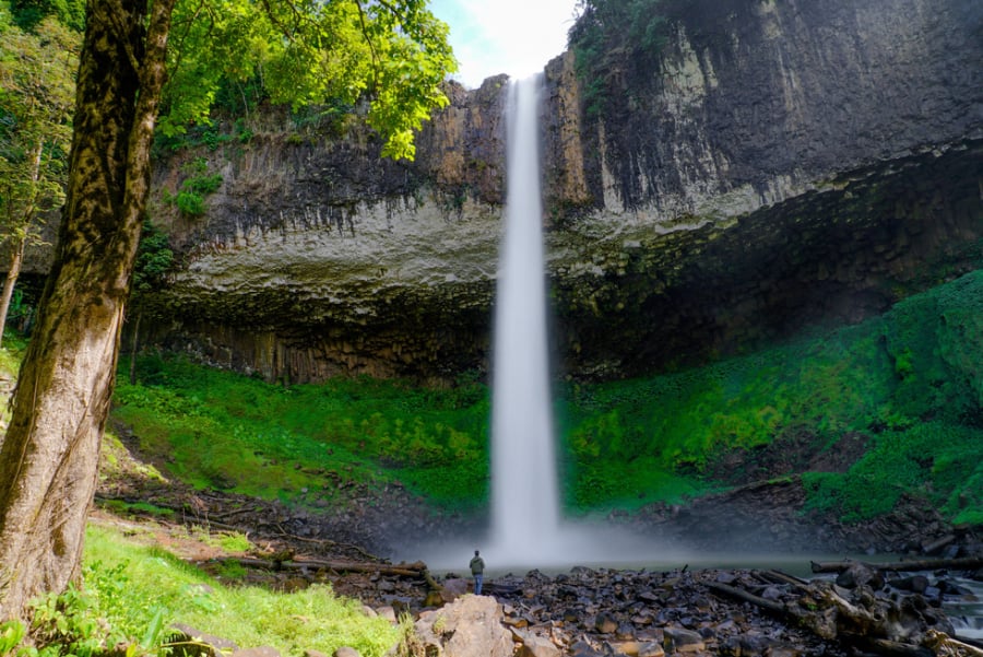
Lieng Nung Waterfall

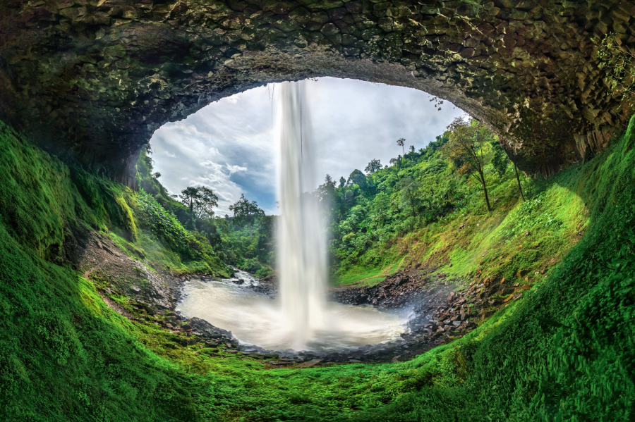
What adds value to Dak Nong Geopark is its location amidst a region rich in history and culture, with tangible and intangible cultural values such as: the Central Highlands Gong Culture Space, the Ot N'drong Epic, the Nam Nung Nature Reserve, Ta Dung National Park, the D'ray Sap, Trinh Nu, and Gia Long waterfalls, and Yok Don National Park (Dak Lak).