 VI
VI


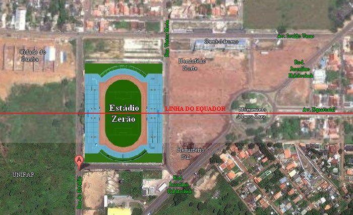
In 1990, the Zerão stadium was built in the city of Macapá (Brazil) to commemorate a former president of the Amapá State Football Federation. The official name of the stadium is Estádio Milton Corrêa, but because it is located at latitude 0 on the Equator, its name is not officially known. The people of Macapá City call it Zerão, which means "big zero".
The center line of the Big Zero stadium not only divides the two teams, but also splits the globe into two halves. Therefore, in each match here, each team is not only defending their own goal but also representing either the Northern or Southern hemisphere.

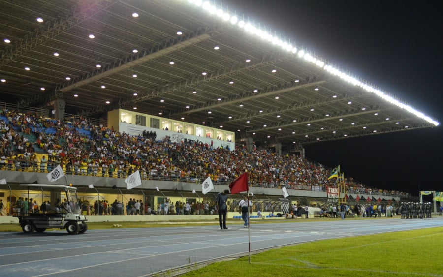
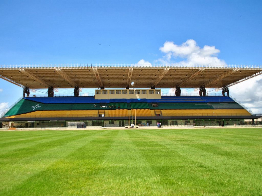
The Zerão stadium has a capacity of up to 13,680 people. The stands are also divided into two halves.
In fact, when locating the Zerão stadium on the map, engineers used the Brazilian geodetic system as a construction reference. Because it did not follow the WGS84 (World Geodetic System) reference system, published by the US Department of Defense's Mapping Agency in 1984, the center line of the running track is not precisely at latitude 0.
If using a GPS device, you must walk south until you are completely out of the stadium to see the Equator. The stadium will be located 2 seconds north of the Equator according to the WGS84 system.
Macapá City
Located in the most remote part of Brazil, Macapá is bordered on one side by rainforest and on the other by the Amazon River. This longest river in the world separates Macapá from the rest of Brazil. Macapá lies on the equator, with one of its most famous landmarks being the Macro Zero Monument – a giant 30-meter-tall concrete sundial. A red line runs from this monument down the Avenida Equatorial, marking the invisible equator that divides the globe in two.