 VI
VI


In a multi-year project, a team of international scientists used aerial laser scanning and ground surveys to map the ancient city of Mahendraparvata, also known as Mount Indra (meaning king of the gods).
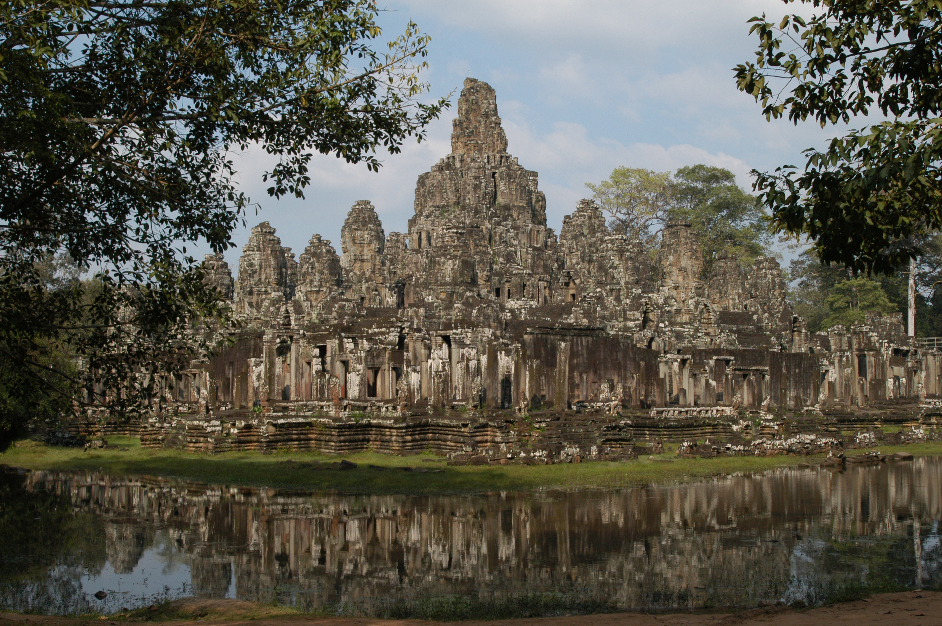
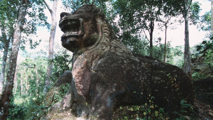
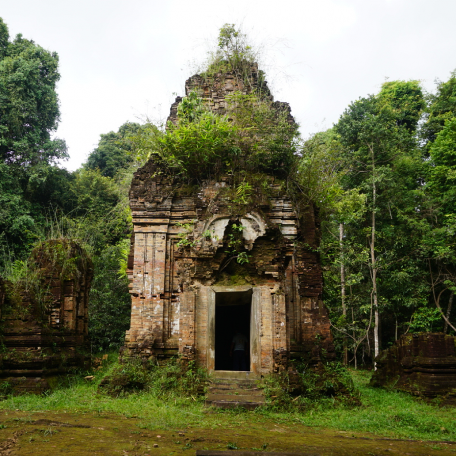
Mahendraparvata was one of the first capitals of the Khmer Empire, existing from the 9th to the 14th centuries AD, but much of what is known about the city comes from inscriptions recovered from various archaeological sites. Scientists have hypothesized that the city was located on the Phnom Kulen plateau, about 48 km north of Siem Reap province, but have struggled to find concrete evidence. This remote, inaccessible plateau is covered in dense vegetation and contains numerous landmines planted by the Khmer Rouge regime in the 1970s.
After centuries of neglect, Mahendraparvata was considered a "lost city." Now, scientists claim they have located it.
"We confirm the hypothesis, based on numerous credible pieces of evidence, that Mahendraparvata – the capital of the Khmer Empire from the 8th to the 9th centuries – was located on the Phnom Kulen plateau," the report, published in the journal Antiquity, states.

The researchers used aerial laser scanning technology that has "the unique ability to see through vegetation and provide high-resolution models of the forest floor," according to the paper.
Scientists had to map the area in two phases, the first in 2012, covering approximately 37 km.2and again in 2015, covering the entire mountain range, an area of 975 km².2.
The results of aerial mapping, along with information gathered during field investigations, were used to create a map showing the main pathways and coordinate axes of the newly discovered site. The map details the locations of features such as an unfinished reservoir, several dams, the surrounding walls of temples, and even a palace.
These discoveries open up opportunities to learn more about the Khmer Empire and the Angkor region. The maps show that the city had urban planning, a "sophisticated hydraulic system," and other innovative constructions, the report said.
One striking finding is that the city was built on linear axes that closely correspond to the cardinal directions on a compass.
Prior to that period, human settlements in the region were not formally planned, lacked clear boundaries, and seemed to develop spontaneously, meaning Mahendraparvata was the first major planned city of the Khmer Empire.