 VI
VI


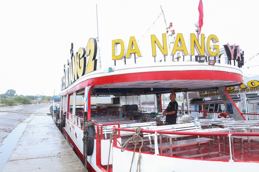
Due to the influence of a tropical depression that has the potential to intensify into a storm, the Da Nang Department of Transport has requested all boats operating tourism services on the Han River to move to the K20 pier area. At this pier, dozens of tourist boats on the Han River are currently hastily lining up to anchor.
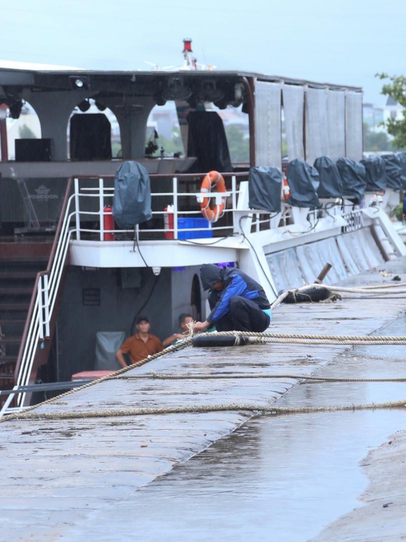
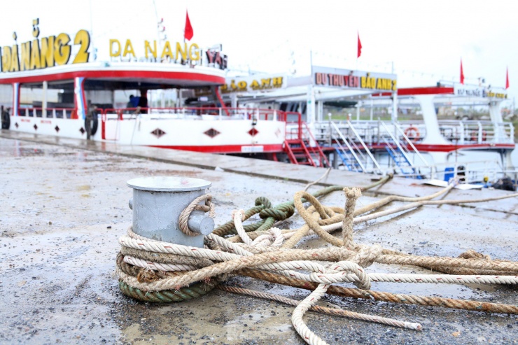
All the boats were secured to mooring posts, covered with tarpaulins, had tables and chairs neatly arranged, and were covered with plastic sheeting to prevent damage when the storm hit. The yachts were moored in rows of three, side-by-side to ensure safety. From late afternoon, the rain in Da Nang subsided, giving boat owners and staff favorable conditions to secure the mooring posts and cover equipment, tables, and chairs to protect their property.
The Han River, usually bustling and lively, is now shrouded in an atmosphere of urgency and tension.
Reportedly, all tourist boats have staff on duty to guard their property. Boat owners said that, as requested by the Department of Transport, all tourist boats operating on the Han River must move to a safe place to shelter from the storm before 5 PM on September 18th.

Ships and boats must be quickly reinforced before typhoon number 4 makes landfall.
As of 2 PM this afternoon, the middle span of the Nguyen Van Troi bridge was raised to allow yachts to line up and enter the K20 pier. Approximately two hours later, all boats were fully anchored in designated storm shelters. Authorities also deployed personnel to the pier area to assist boat owners and those anchored there in handling any incidents.
At noon on September 19th, the National Center for Meteorological and Hydrological Forecasting announced that at 10:00 AM today, Typhoon No. 4 was located in the coastal waters from Quang Binh to Thua Thien Hue with an intensity of level 8-9, gusting to level 11. It is forecast that in the next 3 hours, Typhoon No. 4 will move westward at a rapid speed of 20-25 km/hour.
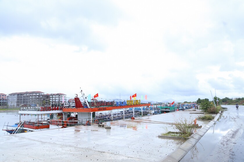
At the dock, dozens of cruise ships on the Han River are currently lining up to anchor.
Mr. Mai Van Khiem, Director of the National Center for Meteorological and Hydrological Forecasting, advised people not to be complacent just because this is a level 8 storm. Because this storm combines the impact of strong southwest monsoon winds and is located within the tropical convergence zone, its circulation will have a very wide impact.
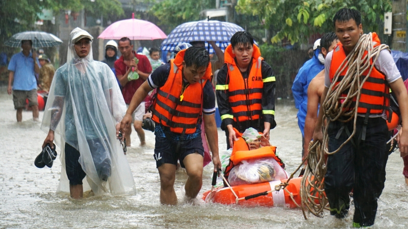
In addition, the severe weather system has caused widespread heavy rain since last night, continuing for the next few days. Rainfall from now until the next two days in the North and Central Central regions will range from 100-300mm, with some areas exceeding 500mm. The heaviest rainfall could occur in Da Nang, Thua Thien-Hue, Quang Binh, and Quang Tri, where heavy rain is likely to exceed 100mm in 3-6 hours today and tonight as the storm approaches the coast and directly impacts the area.