 VI
VI


Given the increasingly complex and unpredictable developments of Typhoon Wipha (Typhoon No. 3), coastal provinces and cities from North to Central Vietnam have been urgently implementing a series of decisive response measures. To maximize the protection of lives and property of residents and tourists, many key localities have simultaneously issued orders prohibiting sea travel and temporarily suspending tourism activities on and along the coast.


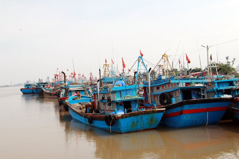
Nghe An, one of the coastal provinces directly affected, has taken the lead in storm prevention and control efforts. According to an urgent dispatch from the Provincial People's Committee, from 5:00 AM on July 21st, all types of boats and transport vehicles were prohibited from going out to sea. At the same time, vessels already operating at sea were required to quickly move ashore and complete safe anchoring before 10:00 AM the same day, ensuring that no vessels were operating at sea when the storm made landfall.
Nghe An province has banned boats from going out to sea starting at 5 AM today.
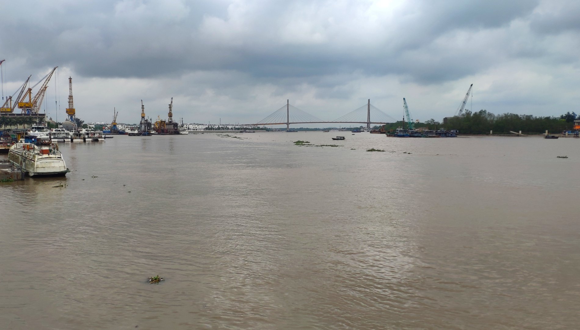
In Hai Phong, a major port city in the North, comprehensive storm prevention measures have also been implemented. From 5 PM on July 20th, all activities on rivers and seas were completely suspended, including the Cat Hai - Phu Long cable car line, one of the modern and popular cable car lines for tourists.

Hai Phong also issued a notice requiring the suspension of all activities on rivers and seas.
The Hai Phong Department of Culture, Sports and Tourism has also issued a notice requesting tourist areas, attractions, accommodation establishments, and travel agencies to closely monitor the storm's developments. In particular, these establishments must proactively inform tourists in a timely manner so they can adjust their itineraries accordingly, avoiding unnecessary risks. Outdoor sightseeing and recreational activities are also advised to be temporarily suspended when the weather deteriorates. Local authorities also strictly prohibit the accommodation of tourists in dangerous areas such as coastal areas, islands, bays, or places with a high risk of landslides or flooding.

Quang Ninh province, with its world-famous Ha Long Bay and numerous bustling tourist islands, is also not immune to the impact. The province has ordered all passenger and tourist ships to return to port before 6 PM on July 20th and has temporarily suspended issuing departure permits.
Quang Ninh has prepared several contingency plans in case of a worst-case scenario.
On frontline islands such as Co To and Ngoc Vung, border guards have proactively fired warning flares, a traditional but effective measure to urgently notify fishermen and island residents, and this activity will continue in the coming days. The Quang Ninh Department of Tourism has been tasked with continuously updating the number of tourists staying in the area, especially in coastal and island regions, and coordinating closely with travel companies to provide timely information and ensure maximum safety for tourists remaining in the storm-affected areas.
Other provinces are also rushing to implement similar measures. Thanh Hoa province has implemented a ban on sea travel from 8:00 AM on July 21st, and this ban will remain in effect until the storm no longer affects the area.

In Thanh Hoa, authorities assisted people in getting inland from early morning and announced a ban on sea travel to ensure safety.
In Ninh Binh, the Provincial People's Committee directed the temporary suspension of ferry services from 5 PM on July 21st. Coastal localities in Ninh Binh were also instructed to coordinate with the Border Guard to strictly prohibit vessels from going out to sea from 7 AM on the same day and to notify vessels operating offshore to quickly seek safe shelter before 12 PM. Hung Yen province also directed a sea ban from 6 PM on July 20th, strictly prohibiting vessels from going out to sea and halting all activities related to fishing, aquaculture, and other activities in river mouths, coastal areas, and offshore after the ban.

In Ninh Binh, the Provincial People's Committee directed the temporary suspension of ferry services from 5 PM on July 21st.
According to the latest update from the National Center for Meteorological and Hydrological Forecasting at 11:00 AM on July 21st, the center of Typhoon Wipha (Typhoon No. 3) is located at approximately 21.2 degrees North latitude and 109.6 degrees East longitude, about 190 km from Quang Ninh and about 310 km from Hai Phong. The strongest winds near the center of the typhoon reached level 9 (equivalent to 75-88 km/h), with gusts up to level 11. In the next 3 hours, the typhoon is expected to move in a west-southwest direction at a speed of 10-15 km/h.
Forecasts indicate that from the evening and night of July 21st, coastal areas from Quang Ninh to Nghe An will experience strong winds of force 7-9. In particular, near the storm's center, winds could strengthen to force 10-11, with gusts up to force 14. Further inland, winds will also be strong at force 6, with gusts of force 7-8. Experts warn that winds of force 10-11 have the potential to cause significant damage, toppling trees, power poles, and tearing off roofs. Tomorrow (July 22nd), the storm is forecast to make landfall in Vietnam, with the landfall area shifting southward, primarily in Hung Yen and Thanh Hoa provinces.