 VI
VI


From October 13th to 15th, the Ho Chi Minh City Department of Transportation will complete the pilot installation of QR codes on street name signs at six intersections in District 1, including: Le Thanh Ton – Dong Khoi, Le Thanh Ton – Pasteur, Ly Tu Trong – Pasteur, Ly Tu Trong – Dong Khoi, Nguyen Du – Dong Khoi, and Le Duan – Cong Xa Paris.
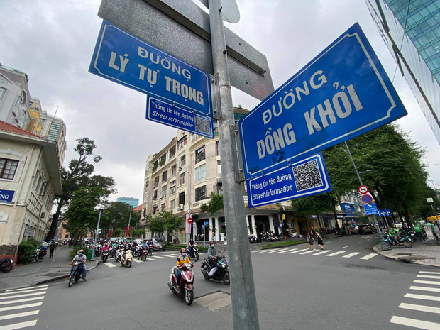
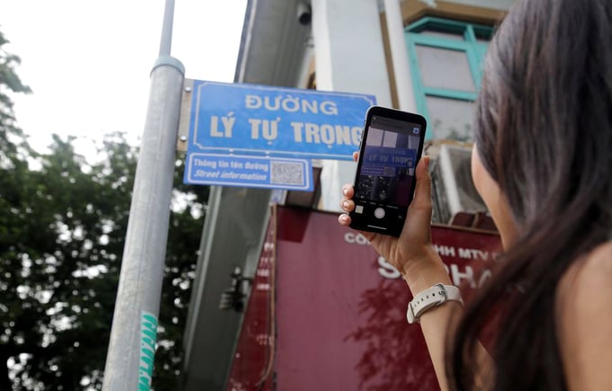
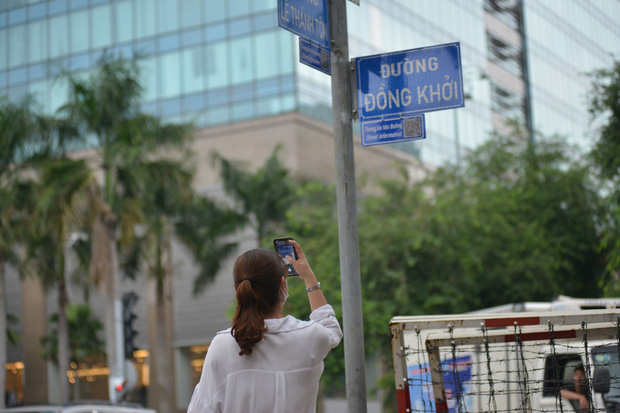
Some central routes are equipped with QR codes.
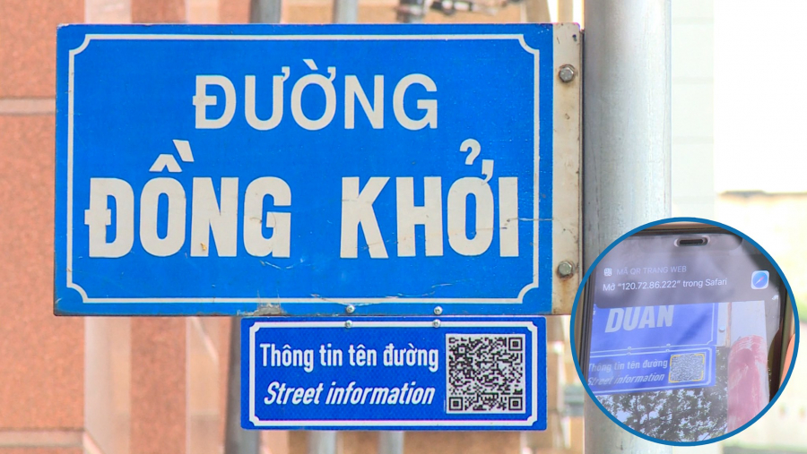
The 8x8 cm QR code is located in the corner of the sign at a height of 2 meters. Users can scan the code from a distance of 3-4 meters. However, after the first day of testing at several intersections, many people commented that the QR code should be made larger and placed lower down.

After searching, the phone will receive an image file containing information about the history, location, length, road width, and biography of the famous person or introduction to the historical event after which the road is named. This entire information system is provided by the Department of Culture and Sports to the Department of Transport, which then updates it into the management software.
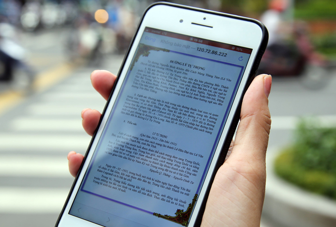
Route information is sent to your phone after you scan the QR code.
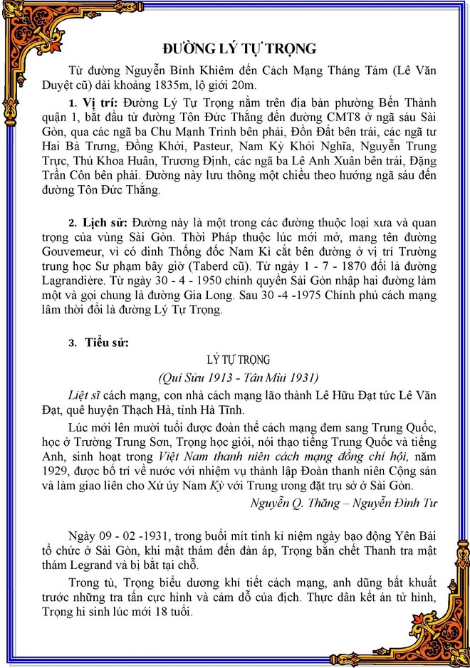
This image shows the route after scanning the QR code.
The project is part of the city's new tourism development strategy with a vision to 2030. If successful, it is possible that all streets in Ho Chi Minh City, as well as other major cities, will be equipped with QR codes encouraging people to learn about history and suggesting translations into several other languages as a way to promote national culture to tourists in the future.