 VI
VI


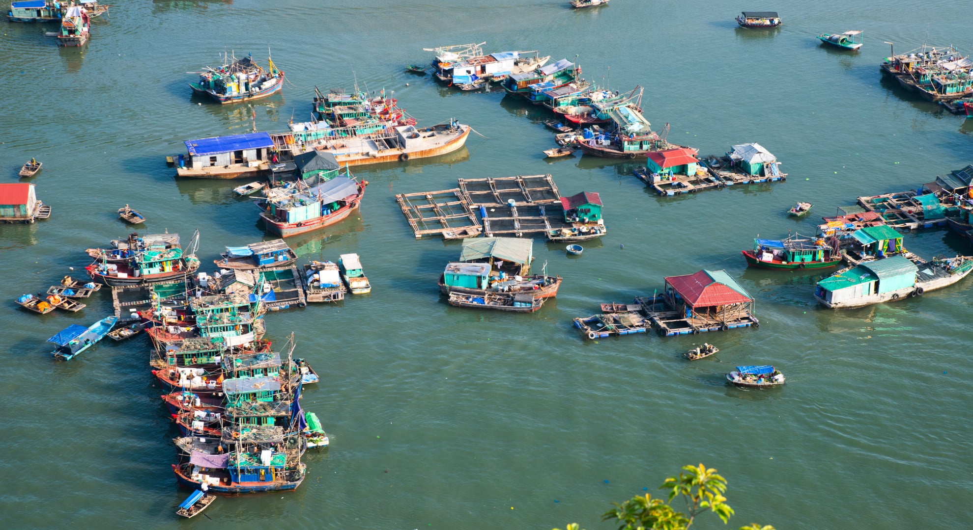
According to the National Center for Meteorological and Hydrological Forecasting, the storm's path is tending to deviate towards the northeast, not approaching the Quang Ninh border but instead heading south of Hainan Island and then into the northern part of the Gulf of Tonkin.


The storm is expected to enter the sea area of Quang Ninh - Hai Phong in the early morning of July 5th with wind speeds of level 8, gusting to level 10, before weakening into a tropical depression as it moves further inland into China.
From the night of July 3rd, the northwestern part of the East Sea (including the Hoang Sa Special Economic Zone) extending to the Gulf of Tonkin - encompassing the Bach Long Vi, Van Don, Co To, Cat Hai Special Economic Zones and Hon Dau Island - will experience strong winds of force 6-7, near the storm's center force 8, gusting to force 10, with very rough seas and waves 2-4 meters high.
From the afternoon of July 4th, coastal areas of Quang Ninh, Hai Phong, and Hung Yen experienced strong winds of level 6, with winds near the storm's center reaching levels 7-8, gusting to levels 9-10; waves were 2-3 meters high, and storm surge was approximately 0.2-0.4 meters. Strong winds could damage roofs, break trees and billboards, and affect power lines and coastal transportation.
Following the developments, Quang Ninh province banned all maritime activities from 12 PM and Ninh Binh province from 2 PM on July 3rd. By the morning of the same day, authorities had counted and guided over 56,000 boats with approximately 249,000 workers away from the dangerous area. However, on the same day, a notable incident occurred when a fishing boat from Quang Ninh sank in the early morning on its way back to Co To Island due to a storm. Six out of seven fishermen were rescued, while one remains missing.


According to the National Center for Hydro-Meteorological Forecasting, Typhoon No. 1 (Typhoon Maysak) has intensified and is heading towards the sea area of Quang Ninh - Hung Yen.
Residents and tourists should pay special attention to the storm's circulation, which will cause widespread heavy rain. From the night of July 3rd to the end of July 5th, the Northeast region and Thanh Hoa province will experience heavy to very heavy rain, with rainfall amounts generally ranging from 100-200mm; specifically in the Northeast region, rainfall will be 150-250mm, with some areas exceeding 350mm. The Department of Dyke Management and Disaster Prevention warns that from July 4th to 7th, the northern coastal areas are at risk of thunderstorms, strong winds, and high waves; mountainous areas in the North need to be especially vigilant against flash floods, landslides, and flooding in small rivers and streams.
The Department of Dike Management and Disaster Prevention advises tourists planning to travel in the coming days to continuously monitor weather forecasts and warnings before and during their trips, and to consider postponing or adjusting their itineraries.
Specifically, tourists should not go to the beach, board boats, canoes, paddleboard, or swim when there are warnings of thunderstorms, strong winds, and high waves. They should not go to waterfalls, streams, camp along rivers or streams, or go trekking when heavy rain or bad weather is forecast. They should not stand in dangerous positions to take photos or videos of flash floods or landslides.
Notably, the agency noted that the period after heavy rain poses many risks for hikers, therefore tourists should not explore trekking routes on their own or go alone, as it is easy to get disoriented in bad weather. In addition, absolutely do not drive across flooded underpasses, bridges, or sections of road that are submerged – even a difference of a few tens of centimeters in water level can sweep away even large trucks.

Tourists should not go to the beach, board boats, canoes, paddleboard, or swim when there is a warning of thunderstorms, strong winds, and high waves.
In case of an accident while traveling, tourists should remain calm and observe to identify the greatest danger (flood, landslide, thunderstorm, or large waves), then stop moving and find shelter away from the edge of a cliff, rock face, or stream bed. Immediately contact local authorities or call 112 – the emergency and disaster reporting hotline.
If your phone has signal and battery, turn on location services, share your location, and minimize movement to make it easier for rescuers to reach you; if you lose signal, use a whistle, flashlight, or brightly colored clothing to signal. While waiting for rescue, keep warm, use your food supplies wisely, stay with your group, and only leave your shelter when the weather stabilizes or when instructed by authorities. Do not return to the dangerous area to retrieve belongings.
Nine provinces and cities in the Northeast region and Thanh Hoa have issued urgent directives requesting the counting of boats and ships, proactively prohibiting sea travel, and preparing rescue forces. Given that Typhoon No. 1 is the first typhoon of the 2026 rainy season, proactively postponing or adjusting travel plans remains the safest option for tourists before the natural disaster strikes.