 VI
VI


The road is like a ribbon.
Lush green terraced rice fields
Scenery of the western region of Quang Nam province
Beautiful like a painting.
Bac Tra My and Song Tranh 2 hydroelectric power plant
Departing from Tam Ky city on a beautiful sunny day, we rode our motorbikes along provincial road DT616, crossing the midland district of Tien Phuoc and entering Bac Tra My – a road that begins to run alongside the Tranh River. Just past Bac Tra My town, the majestic Song Tranh 2 hydroelectric dam loomed before us.
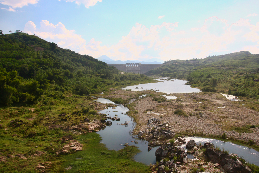
The Song Tranh 2 hydroelectric dam, viewed from Bac Tra My town.
The Song Tranh 2 hydroelectric plant is temporarily shut down for inspection and monitoring of unusual geological activity in the area, so we were able to enjoy the scenery and take photos on the dam quite freely.

Standing on the dam and looking around, the undulating mountains cast their shadows on the surface of the hydroelectric lake. The Tranh River downstream from the dam is quite shallow, with rocky areas emerging just behind the spillway gates.
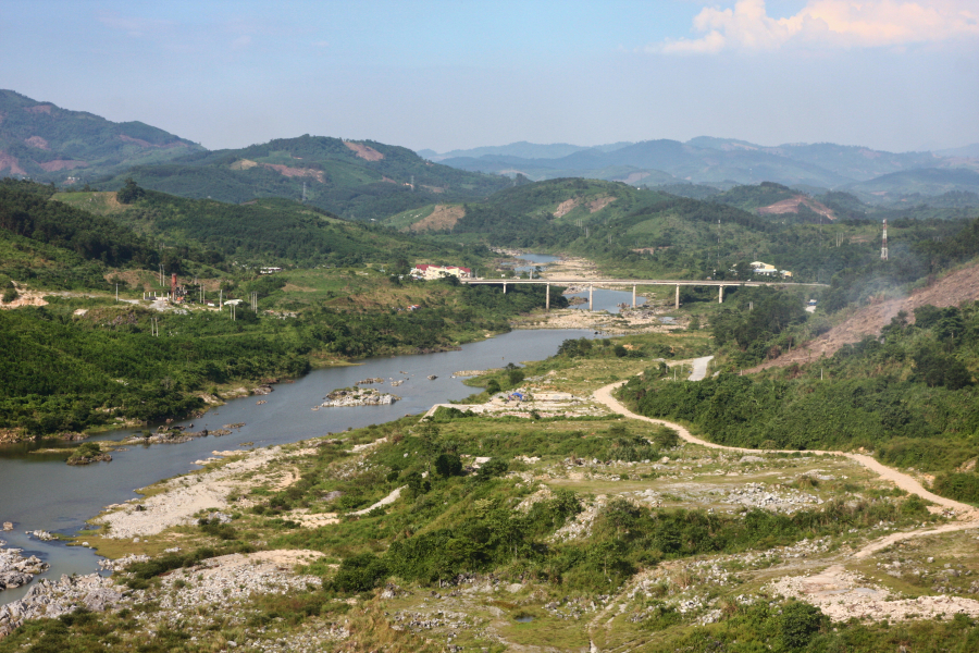
The Song Tranh Bridge connects the Dong Truong Son road to Provincial Road 616.
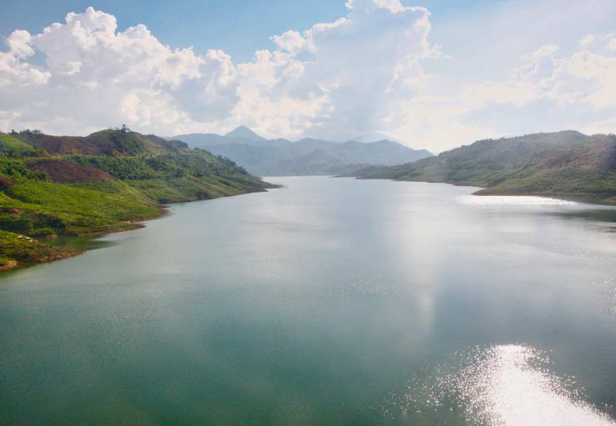
Song Tranh 2 Hydroelectric Reservoir
Leaving the Song Tranh 2 hydroelectric dam, we continued along provincial road DT616 upstream along the Tranh River. The mountains and forests stretched endlessly, the road winding up and down the slopes. After crossing the Nuoc Xa bridge – the boundary between Bac Tra My and Nam Tra My districts – the road and the Tranh River ran parallel to each other.
Nam Tra My - the majestic headwaters of the Tranh River
Right where the road and the river meet, there's an old suspension bridge spanning the river – the Tra Leng Suspension Bridge. The new concrete Tra Leng Bridge has been built not far away, so hardly anyone uses the old suspension bridge anymore. From the Tra Leng Suspension Bridge, we continued to enjoy a very impressive stretch of the Tranh River, resembling a flow within a giant stone trough.
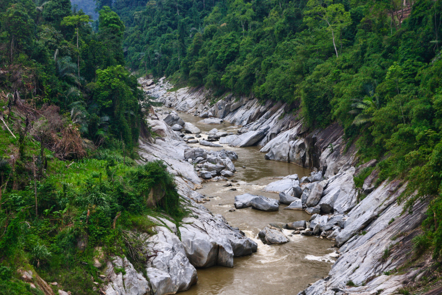
The Tranh River section beneath the Tra Leng suspension bridge.
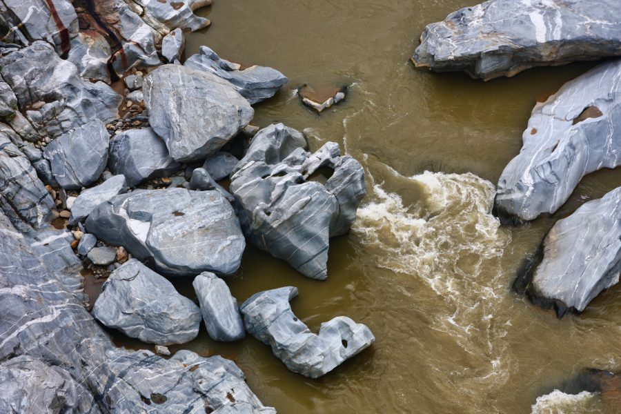
The stones at the bottom of the river have been polished smooth by the flowing water.
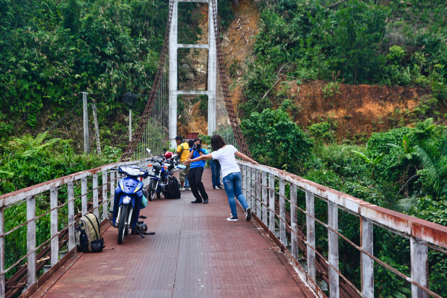
Tra Leng Suspension Bridge
Previously, the road and river were separated due to the formation of a hydroelectric reservoir; from here on, the road and river run side by side. The road now runs through the mountains and forests of southwestern Quang Nam province, but we didn't feel the solitude of the old forest at all, because we could hear the sound of the river flowing right beside us.
The small town of Nam Tra My is situated right at the confluence of the Tranh River and the Nuoc La stream. This remote mountainous district capital has a few small streets, a few small guesthouses, and some rather simple eateries. However, the scenery is stunning, with the lush green of the mountains and forests and very fresh air.
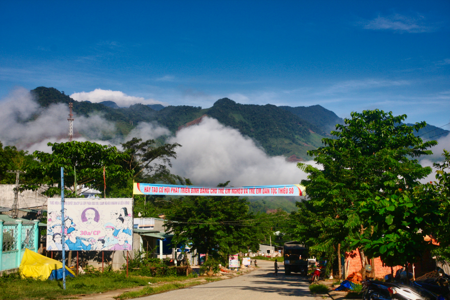
Nam Tra My in the early morning / Golden sunlight under a blue sky / Distant green mountains / Wrapped in a veil of clouds
Nam Tra My lies at the foot of the Ngoc Linh mountain range, with the Tranh River winding along the base of this famous mountain massif. Beyond the town, heading south, you're almost in Kon Tum province, with several branch roads leading into the Ngoc Linh mountains through the communes of Tra Cang and Tra Linh.
We stopped at the road leading to Tra Linh commune, crossing the Tra Linh bridge over the Tranh River. The bridge spans a section of the river filled with large rocks scattered across the riverbed. This area is now quite high upstream, and this section of the Tranh River resembles a relatively calm stream – except during the rainy season. The bridge, with its concrete railings, looks from afar like a system of loopholes used in ancient fortresses.
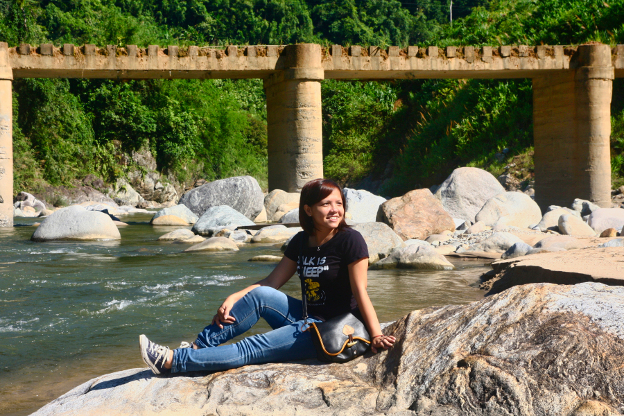
The Tranh Riverbed, below the Tra Linh Bridge.
Terraced rice valley in Tra Nam
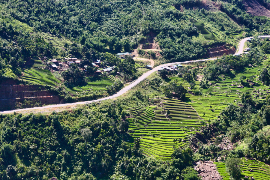
Continuing our journey to the most remote area of Nam Tra My district, Tra Nam commune, we were overwhelmed with surprise as we saw lush green terraced rice fields nestled amidst the mountains and forests of Quang Nam province.
At the final stretch of the road running parallel to the Tranh River (because after that, the river narrows like a small stream flowing down the mountain), right where the Dak Pxi bridge crosses the Tranh River to redirect the road up the western slope of the mountain range, lies a small valley with terraced rice fields stretching out. In terms of scale, the terraced rice fields in Tra Nam cannot compare to those in the Northwest region, but amidst the wild mountains and forests bordering the Central Highlands, witnessing this beautiful scene, we were all extremely surprised and delighted.
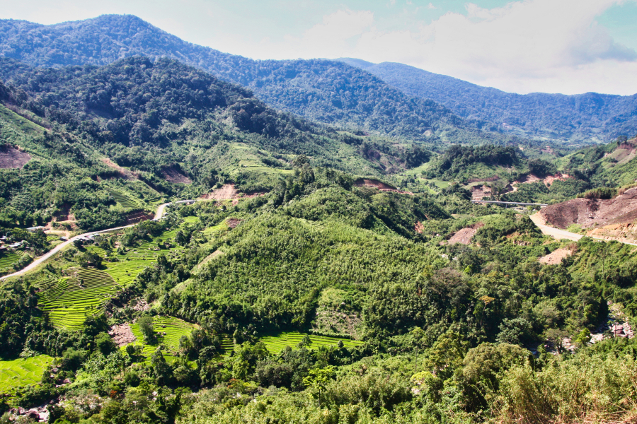
The Dak Pxi bridge redirects the road up the side of the mountain range, preparing to enter Kon Tum province. A small valley with charming terraced rice fields.
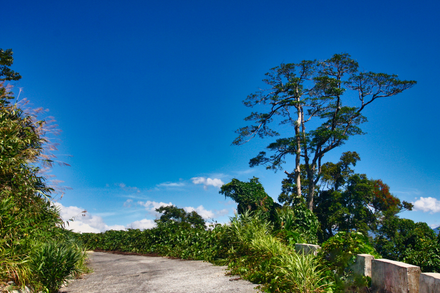
The narrow, winding mountain pass clings precariously to the side of the mountain in Kon Tum province.
After passing through Tra Nam, we entered Kon Tum province, and had to travel over 60 km of winding mountain roads to reach Dak To town on National Highway 14. In previous years, the road on the Kon Tum side was not well-developed, making travel very difficult. Now, Provincial Road 616 has been upgraded to National Highway 40B, making travel much more convenient. If you have the chance, try visiting this pristine natural area.